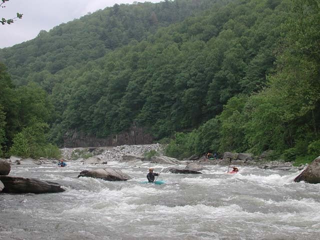
Rapids along the Nolichucky River run
Running between West North Carolina and East Tennessee, the Nolichucky River cuts a deep gorge through the Blue Ridge Mountains. The 8 to 9 mile portion of the Nolichucky near Erwin, TN provides one of the most techinical sections of whitewater paddling in the the southern US.
This map identifies the 14 major rapids along the whitewater portion of the Nolichucky. Rapids are commonly classified using the International Scale of River Difficulty, which classifies rapids into six groups: class I being the safest and class VI being the most dangerous. Whitewater up to class IV can be found on the Nolichucky, with extreme variations in intensity depending on water levels.
Hover over the waterfall icons to identify the rapids and their classifications. Paddlers of all levels can use maps like this to understand the difficulty of the Nolichucky, one of the many steps in planning a successful day on the river.
Data for this map was prepared using QGIS 3.4.4 on macOS 10. Point data captured from A Wet State and Google Maps. Detailed river data provided by American Whitewater. Basemaps provided by Esri. Coordinate reference system: WGS84, EPSG:4326.

